UPDATE: 4:40 p.m.
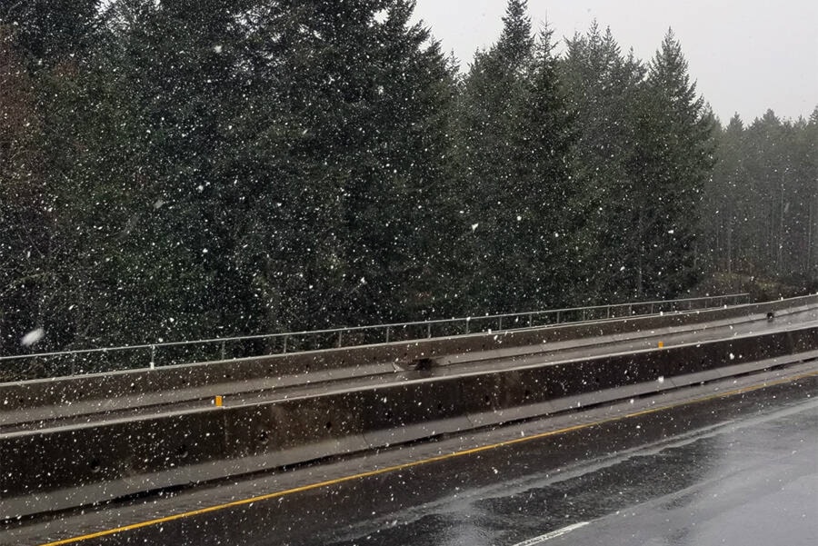
Environment Canada is updating its special weather statement for the Coquihalla and Connector Highways and Highway 3 between Hope and Princeton on the Allison Pass.
There is between 5 and 15 cm of snow forecast for Tuesday evening into the night.
_____
With a special weather statement issued for both the Coquihalla and Connector Highways, for the possibility of 5 to 10 cm of snow, lower elevations may also see some hints of the white stuff.
Environment Canada is forecasting a 30 per cent chance of rain or flurries for the Central Okanagan on Monday night, with the snow level at 1200 metres lowering to the valley bottom after midnight.
The South and North Okanagan may see flurries Tuesday afternoon into the evening, as temperatures range from 7 C during the day to 0 C overnight.
For Tuesday, the snow level is anticipated at 600 metres rising to 1000 metres by late in the morning.
Winds are expected to pick up across the region on Tuesday gusting from 20 km/h to 40 early in the afternoon.
The drop in temperatures and the possibility of flurries in the lower elevations is due to a low-pressure system from the coast that will spread more snow late Tuesday, according to Environment Canada.
READ MORE: First snowfall of the season to hit Okanagan Connector


