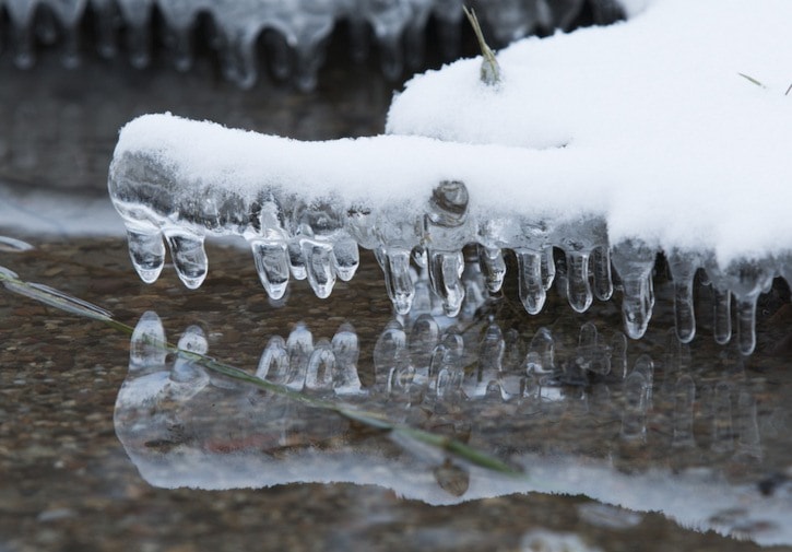
The December 2016 cold snap is here to stay.
Environment Canada is reporting that this week will be the coldest of the month, and while things will warm up next week – it won't be by much.
“This will be a very chilly section of the winter, -14 C this week, even dipping down to -17 C – and that is without the wind chill. Even five or 10 km/h winds will further reduce the sensation of those temperatures,” says Environment Canada meteorologist Armel Castellan.
“It looks like it will start to emerge from it slowly Sunday and Monday, but not reach anywhere near normal yet. You will remain below normal, but not quite as cold.”
The long-term projections show this colder-than-average weather will stick around until next year.
“Most of the models are staying below zero with a daily average of minus eight, minus 15 range. It's definitely an anchored ridge that doesn't seem to want to go away. It is a cold December,” says Castellan.
Additional, Environment Canada reports that this frigid weather could bring a slight chance of more snow.
“There is a weather system building in the U.S., currently projected to skirt the border, but a slight change in the track could mean the Kootenays and Okanagan could see snow on Thursday and Friday,” says Castellan.
This long-term cold snap is the result of a very large weather ridge hanging over the province.
“It is a big, long ridge that stems from the Yukon and comes all the way through B.C. and part of the prairies and into the U.S. It is a very large feature and it has a lot of cold air associated with it and it is not moving very quickly,” says Castellan.
“For the interior of B.C. it means it is much colder than normal.”
Head over to our Facebook page to send us your best winter photos and video.


