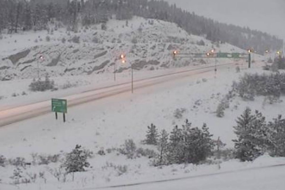
UPDATE: 3:09 p.m.
Though the Penticton and South Okanagan didn’t receive the same kind of snow dump Environment Canada expected Wednesday night, moving into Thursday, the weather watchers still had 10-15 centimetres pegged for Friday throughout the Okanagan, which would make the third major snowfall of the month.
Merritt, too, is expected to get about 15 centimetres of snow, so drivers should watch for weather conditions if taking the Coquihalla or Okanagan Connector ahead of the weekend.
“We do see another system coming in, likely beginning, could be as early as late morning or more likely early afternoon, another five centimetres during the day from that system,” said Allan Coldwells from Environment Canada.
“Then potentially another five centimetres in the overnight period before Saturday morning, when it finally starts to taper off, and that whole system that’s been bringing all this moisture will finally push south of the border and we should see some gradual clearing later Saturday night.”
That makes the third major dump for the month, which isn’t all that common for the area, but Coldwells said the snowfall is far from any record — on Dec. 11, 1927 91���Ѽ received 40.6 centimetres of snow in one day.
Moving into the weekend and early next week, Coldwells said the Interior should expect to exchange the snow for the cold, as a new weather system brings clear skies and daily highs of about -10 C.
—-
UPDATE: 1:30 p.m.
Environment Canada has ended the snowfall warning for the Central and North Okanagan.
A special weather statement remains in place for the Okanagan Connector and the South Okanagan, where 10 to 15 cm of snow is expected today.
—�Ĕ�Ĕ�Ĕ
A snowfall warning is in effect for the Central and North Okanagan on Thursday.
Environment Canada is calling for up to 15 centimetres of snow during the day for much of the Interior — which should ease off by the night.
In the South Okanagan, a special weather statement has been issued as up to 10 cm of snow is anticipated to fall. Those living in the Southwest Interior, Western Kootenay regions, North Thompson, and 100 Mile House can also except snow accumulating up to 10 cm.
For those headed out onto Interior Highways be prepared for winter conditions —between 10 and 15 cm of snow is forecast for the Connector. On the Coquihalla and Highway 3, Environment Canada is calling for up to 30 cm of snow and freezing rain near Hope.
4:22a SPECIAL WEATHER STATEMENT ISSUED by Environment Canada
— BC Blizzard Watch (@BC_Blizzard)
The heaviest snowfall is expected to occur through today and begin to ease off overnight as the frontal system passes through.
Consider postponing non-essential travel until conditions improve.
A winter storm warning is in effect for the Fraser Valley as a Pacific frontal system moves through the region. A warmer air aloft has spread across the region this morning while brisk northeast winds cause cool air to maintain at the surface, providing treacherous road conditions for drivers.
Travellers are advised that roads may become hazardous due to icy conditions and to exercise due caution.
For the Fraser Valley, additional snowfall amounts of 10 to 15 cm are possible before the snow transitions to freezing rain later today.
A significant layer of ice is possible through Friday over portions of the Fraser Valley.
Send your weather photos to Black Press, by clicking on the Contact button at the top of the Home Page.
Like us on Facebook and follow us on .


