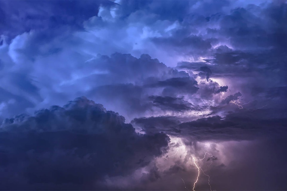
Strong thunderstorms and rainfall are expected to hit the Shuswap and Okanagan regions over the weekend.
Environment and Climate Change Canada has issued a special weather statement for the Shuswap as well as the Central, North and South Okanagan. A significant weather change is expected to arrive late Saturday as a low pressure system reaches B.C. from the U.S.
Ahead of the low Saturday afternoon, atmospheric conditions may be conducive to strong thunderstorms with frequent lightning and very strong gusts of winds, according to the weather statement issued Friday morning. Environment Canada also warns that widespread rainfall will accompany the low pressure system Saturday night and Sunday, which may strain local rivers.
Environment Canada meteorologist Bobby Sekhon explains that there are three key ingredients to a severe thunderstorm: warm temperatures, moisture and a front or barrier to act as a trigger.
READ MORE:
WATCH:
All three factors are expected to be present in the region over the weekend, with temperatures in the high 20s on Friday and Saturday, high humidity and a low pressure system coming from the California coast.
“That impulse is going to take a northerly path through the Okanagan, so that’s not a scenario we see very often at all,” said Sekhon. “It’s definitely concerning from that point of view, acting as a pretty intense trigger.”
With the coming rain and a likely increase in spring runoff from higher elevations due to higher temperatures, Sekhon says the flooding in the region could worsen.
“Anybody who is near rivers or creeks should definitely be aware of the situation and follow the protocols that their community might have, but also just to be very careful, maybe avoid going near rivers and creeks this weekend.”
Heavy winds are also to be expected starting Saturday evening and into the late evening.
“There could be some very strong wind gusts, so make sure things are tied down in your yard of wherever you might be outside,” Sekhon said.
Environment Canada meteorologists will continue to monitor the situation as the weekend approaches. For more information on river flow forecasts, and flood warning and advisories, visit the BC River Forecast Centre .
To receive push notifications on weather alerts in your area, download the .


.jpg)