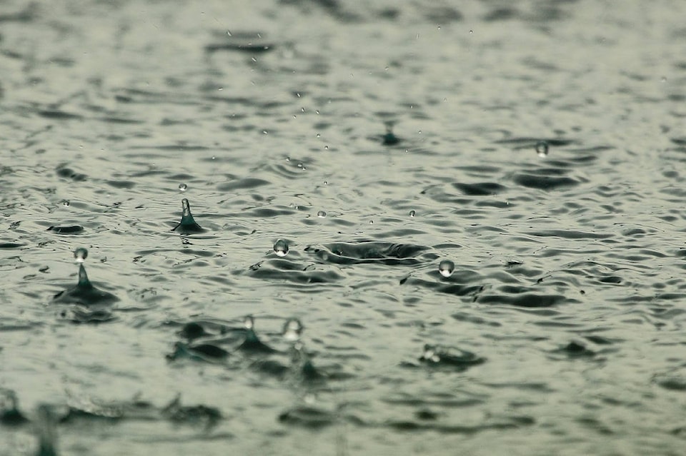
If you did a little rain dance when the skies opened last Friday, you’ll be happy to hear the cooler temperatures and rain are here to stay.
After a brief dry period Sunday and Monday, Environment Canada is forecasting another cold front to move in to the area tomorrow.
“It will really cool things down,” said meteorologist Doug Lundquist. “We are really only expecting highs in the mid teens, a big change. Maybe 16 C for Wednesday and 14 C Thursday so, much cooler than we have had.”
While the dip in temperature may be a shock to our system, Lundquist said we need it.
Related: Finlay Creek fire now 65 per cent contained
“It is probably good news. You can already see the air quality has improved significantly with the air flow and instability. And the rain is going to be a bonus for the firefighting situation.”
Related:
As for that rain, Lundquist said we can expect a variety of amounts before it dries up again on the weekend.
“The problem with showers is that they are highly variable, one neighbourhood can get some and the other get nothing, our numbers are just a ballpark,” explained Lundquist.
For the Okanagan – Shuswap we are looking at anywhere from one to five millimetres per day.
“Not a big dump, but definitely cooler and wetter which is going to be helpful,” said Lundquist.
“Perhaps a little wetter up towards Salmon Arm, five to 10 mm throughout the week.”
As for the this weekend’s anticipated sunshine, it will arrive with much colder daily highs.
“The cool thing about September is that every time it cools down, it never really warms back up. The sun has a lot less power, the nights are much longer, it tends to cool down,” said Lundquist.
“The warmest I see it is maybe on the weekend, highs pushing around 20 C again. Wet throughout the week with more sunshine for Saturday and Sunday.”
In fact these cool temperatures will be below average for the first time this season.
“The average high for this time of year is 21 C, so it is cooler than average for sure.”


.jpg)